Wash. snowpack rebounding after recent weather, still far below average
Mar 7, 2024, 6:22 AM

(Photo courtesy of KIRO 7)
(Photo courtesy of KIRO 7)
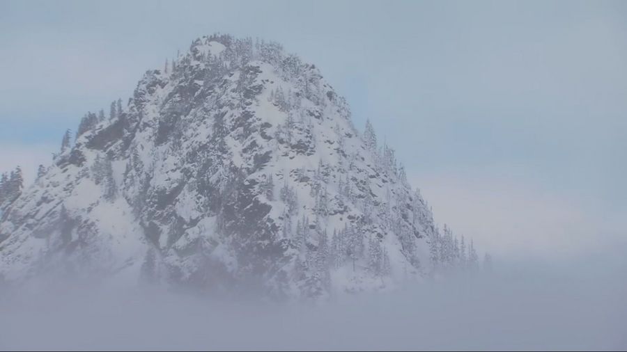
It has stopped snowing in the mountains for the moment after having more than a week of quite welcome snowfall. This winter season’s mountain snowpack has been well below average to this point, so how much of the snow deficit was made up during the recent snows?
The good news is the mountain snowpack made up some ground. The bad news is, there is still a long way to go with the usual peak of the mountain snowpack occurring right around April 1 – just a few weeks away.
In mid-February, the Olympics were not faring well at all with just 30% of average snow on the ground. According to statistics from the Northwest Avalanche Center, the recent snows improved that total on the ground to about 66% of average. The National Resources Conservation Service (NRCS) indicates that the amount of water in that snowpack is now about 50% of average, an improvement of 20%.
More on Wash. weather: March’s weather kicks off like a lion, 6 pm sunsets around the corner
In the Cascades, the snowpack in mid-February ranged from about 40% at Mt. Baker to 83% on Mt. Rainier. Today, the recent snows improved the average to about 80% on Baker with much of the rest of the Cascades ranging from 75-90% of average. The NRCS water equivalent statistics show an improvement in the range of 60-75% of average. Overall, this was good progress in just a few weeks.
After this short-lived dry spell ends by the end of this week, more snow is expected in the mountains. Starting this weekend, a series of Pacific weather systems are forecast to move through Western Washington with periods of rain in the lowlands and snow above about 2,500 feet in the mountains. The new snow amounts are likely to be measured in several feet once again by early next week.
Yet long before the end of this month, the latest extended weather outlooks point toward a return to warmer and drier conditions – not good news for continuing to build up that mountain snowpack.
In addition, the latest National Weather Service Climate Prediction Center seasonal outlook continues to reflect solid odds of warmer-than-average temperatures through this summer, while the odds of precipitation are near or tipped toward below average. This seasonal outlook implies the mountain snowpack may begin to melt off earlier than usual, leading to a collection of undesirable issues.
More from Ted Buehner: When does daylight saving time start in 2024? It’s fast approaching
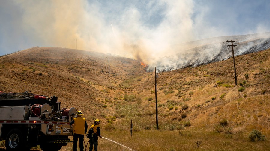
The primary issue is water supply – for consumers, for agriculture, for adequate stream flows for hydropower generation, fish, recreation and more. Unless spring actually turns out to be cooler and wetter than what the seasonal outlook shows, another big impact will be an extended wildfire season across the state including Western Washington, starting earlier than normal and stretching into fall.
Wildfire managers, power utilities, fish management, water managers and many others are closely monitoring the weather situation heading into this spring and summer. The next few weeks may provide more clues on how this situation will play out for much of the rest of the year.
Ted Buehner is the KIRO Newsradio meteorologist. You can read more of Ted’s stories here and follow him on X, formerly known as Twitter.


