Warm weather awaits after region’s last atmospheric river storm
May 31, 2024, 11:24 AM
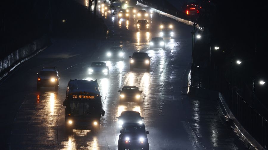
Vehicles travel as rain continues to fall during commuting hours amid a powerful long-duration atmospheric river storm. (Photo: Mario Tama, Getty Images)
(Photo: Mario Tama, Getty Images)
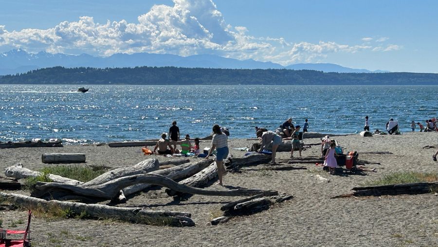
Enjoy the warm sunshine today because cooler wet weather — once again — lies ahead with an atmospheric river starting this weekend. Once we get past the middle of next week, warmer spring weather is set to embark.
Three Pacific weather systems are lined up across the North Pacific to kick off a gloomy start to June. The first is set to arrive tonight with a relatively small dose of rainfall that will taper off to scattered showers Saturday. After high temperatures today cracked the 70-degree mark in many Western Washington locations, highs Saturday will drop down into the lower to mid-60s.
More on Washington weather: PNW doesn’t get hurricanes but does get hurricane-force winds
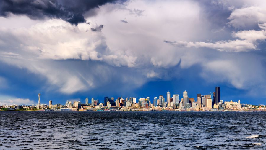
A much wetter second weather system is expected to arrive Sunday. Rain will develop across the region during the day. The heaviest amounts of rain are anticipated Sunday night before turning to scattered showers Monday with the possibility of an afternoon thunderstorm.
This weather system has tapped into warm moist air originating in the sub-tropic region south of Japan. Rain amounts through Monday will likely range from two to three inches along the coast, parts of the Olympics as well as the Cascades. Snow levels will bounce from 5,500 to 7,000 feet, reflecting the warmer source of this moisture. Western interior rainfall amounts will likely total on either side of one inch, depending on the location.
The rainfall and relatively high snow levels mean river levels will fill with more water with the possibility of the typically more flood-prone rivers rising above the flood stage, rather unusual for this time of year.
High temperatures Sunday and Monday will be about 10 degrees below early June averages, only around 60 degrees on both days.
Yet one more weather system is expected to move ashore Tuesday for a last shot of rain with lingering showers Wednesday tapering off. Highs Wednesday should warm into the 60s.
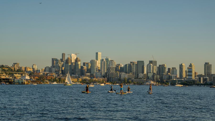
After all this late spring rainfall, here comes the reward. Higher pressure is forecast to build over the Pacific Northwest for clearing skies and warming temperatures. Readings in the latter part of next week should climb into the 70s. And this change to sunny warmer weather looks to extend into mid-June.
From soggy to sunny: This week’s Washington weather roller coaster
For those going to the Seattle Mariners’ three-game series against the Los Angeles Angels this weekend, expect the roof to be open tonight, but very likely closed Saturday night and Sunday. Just as the weather turns warmer with sunshine later next week, the M’s have a road trip.
Yet for the rest of us, we get to enjoy the fruits of bearing a wet weekend with the sun returning later next week.
Ted Buehner is the KIRO Newsradio meteorologist. You can read more of Ted’s stories here and follow him on X.


